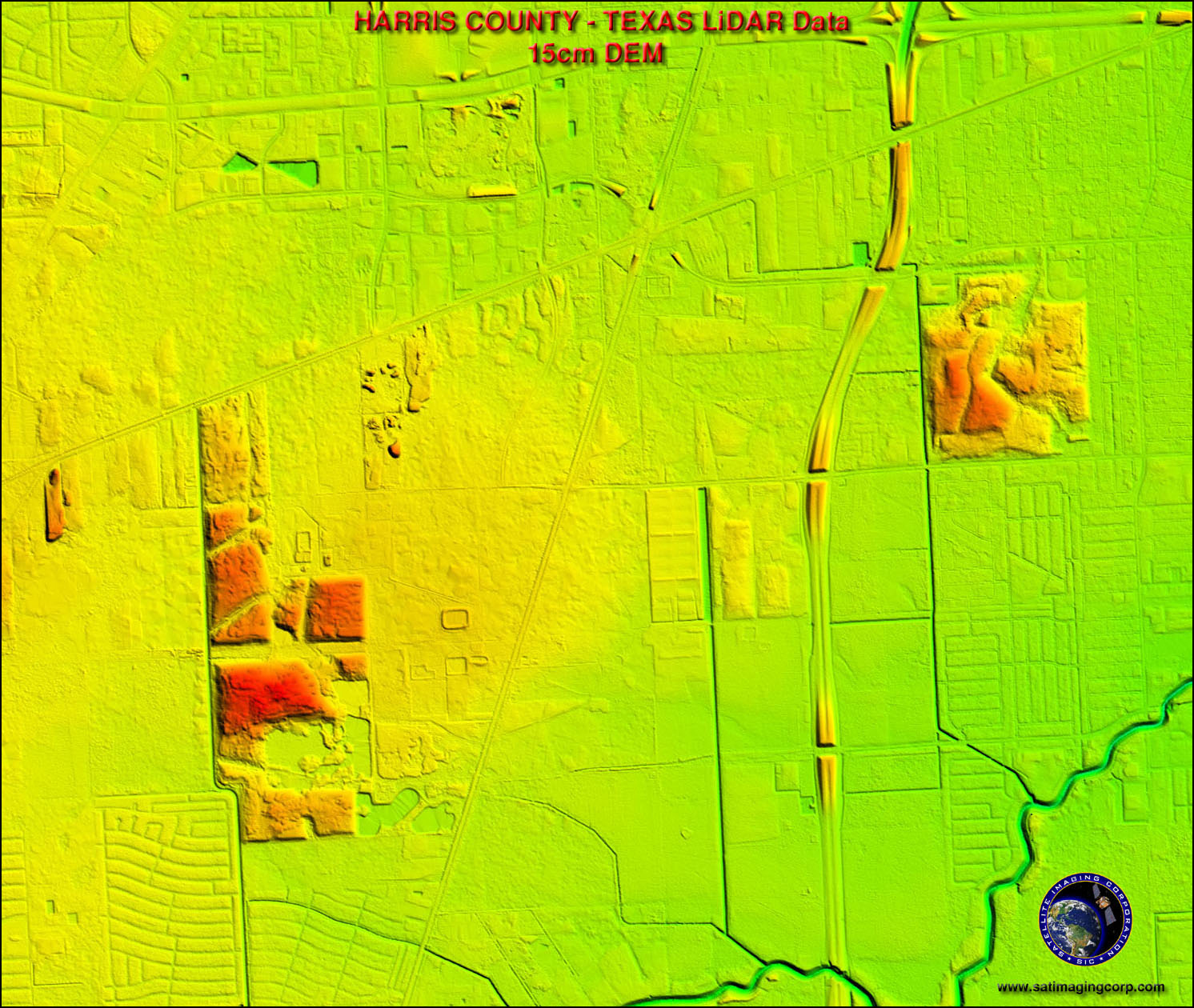
LIDAR, light detecting and ranging, is a remote sensing technique. It works by bouncing light off an object and then measures the time between transmissions to create a 3D model.
Isotachs are found on weather maps their purpose is to show different wind speeds.When the wind lines are closest together the wind speed is strongest. This example is from Mexica and the southwest US.

 http://www.weatherusa.net/blog/images/doppler-orlando-1943.gif